Thanks to an EU-funded project, police-related online services have expanded and become more streamlined. New features, including an electronic administration portal, a mobile application, and digital maps, now assist and inform the public.
The new police portal, ugyintezes.police.hu, provides users with online inNOVA forms that are easy to fill out and user-friendly. These forms are accessible from desktop computers, tablets, and smartphones, supporting popular browsers and operating systems. Both individuals and corporate clients can easily track their submissions, viewing the exact time of submission and receiving notifications in their designated storage space once the application reaches the relevant authority. If a submission requires a fee, users can pay online immediately after submission. With this system, a complete process, including payment, can be completed in as little as five minutes—without waiting in line. Beyond electronic administration, the portal also serves as an information hub for users.
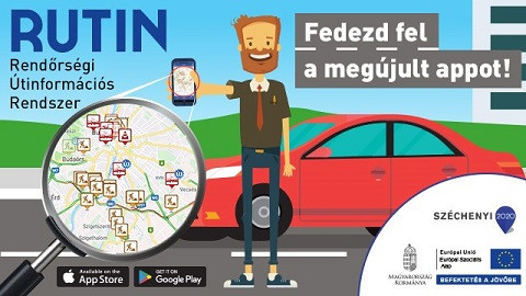
Many people are familiar with and use RUTIN (Police Road Information System), the mobile application developed by the National Police Headquarters. As part of the project, the app has been further modernized to improve its services.For road users, receiving real-time updates about accidents and traffic restrictions on their smartphones is crucial. The primary source of accident reports comes from public notifications received by police dispatch centers, which generate the first alerts in the RUTIN app. Once traffic officers arrive at the scene, they provide updates to refine the preliminary information. At this stage, the police can issue precise details about traffic control measures, such as the expected duration of a lane closure or available detour routes. A key new feature of the app is its expanded data sources. In addition to police notifications, RUTIN now integrates road information from other authorities, such as the Budapest Transport Center (BKK) and Hungarian Public Roads Nonprofit Ltd. (Magyar Közút Nonprofit Zrt.), providing users with a more comprehensive overview of traffic conditions.
As part of the development, the crime and accident interactive maps have been upgraded and are now available at terkep.police.hu. Visitors can continue to customize the map by selecting specific types of crimes or accidents they wish to view. They can then zoom in on any area of interest, whether it’s a specific road section, town, or neighborhood. Users can check incident history near their home, a potential real estate purchase, or even around a school or kindergarten they are considering for their child. Beyond the traditional point-based display, the maps now offer clustered views and heatmaps for easier data interpretation. Additionally, statistical data can be viewed in a thematic format, making it possible to compare crime rates across counties or districts based on incidents per 100,000 residents.
The development was implemented from EU funding in the project KÖFOP-1.0.0-VEKOP-15-2016-00028 under the Public Administration and Public Service Development Operational Programme.
Find out more about the project in the Project Finder:Details
